
 Image 1 of 1
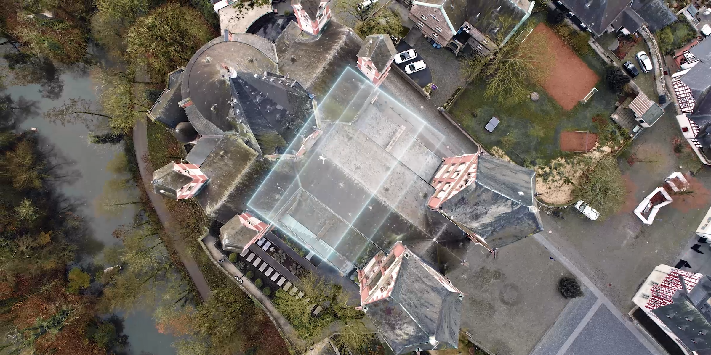
Leverage the power of sophisticated drone photogrammetry to unlock unparalleled spatial data accuracy. Our process involves systematically capturing hundreds or thousands of overlapping aerial photographs using high-resolution UAVs. These images are then meticulously processed using cutting-edge photogrammetry software to reconstruct precise 3D geometry and produce a variety of highly accurate deliverables, including:
Georeferenced Orthomosaic Maps: High-resolution, distortion-free aerial maps with real-world coordinates.
Digital Surface Models (DSMs) & Digital Terrain Models (DTMs): Detailed elevation data representing the ground and features above it.
True 3D Models & Point Clouds: Realistic, measurable representations of structures, landscapes, and entire sites.
Contour Maps: Essential for site planning, drainage analysis, and volume calculations.
Our drone photogrammetry services are ideal for applications requiring centimetre-level accuracy, such as land surveying, construction progress monitoring, volumetric analysis, environmental mapping, and asset management.