

Elevate Your World with
Cutting-Edge UAV Technology
Our Services

Gain a comprehensive understanding of your project site or land with our professional drone mapping services. Utilizing state-of-the-art UAV technology and sophisticated photogrammetry software, we provide centimetre-level accuracy for a wide range of applications.
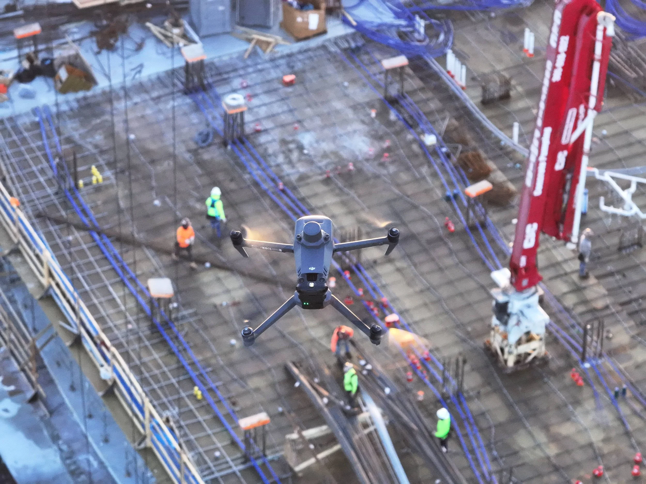
Welcome to your command center for construction project oversight. Our Drone Construction Progress Monitoring leverages cutting-edge drone technology to deliver unparalleled insights into your job site's progress. We transform raw aerial data into actionable intelligence, empowering project managers, stakeholders, and teams across Canada to make informed decisions, mitigate risks, and ensure projects stay on schedule and within budget.

Gain unparalleled insight and ensure safety with our advanced drone visual inspection services.
We provide high-resolution aerial imagery and video, meticulously capturing critical data from hard-to-reach or hazardous areas. Our drones offer a safer, faster, and more cost-effective alternative to traditional inspection methods, minimizing downtime and maximizing efficiency.

Precisely Measure, Track, and Optimize Your Materials
Our Volumetric Analysis service is an essential component of our drone construction monitoring platform, providing unparalleled accuracy in measuring and tracking material quantities on your job site in Vaughan, Ontario, and across Canada. Gone are the days of manual, time-consuming, and often inaccurate measurements. We leverage high-precision drone data to give you exact insights into your stockpiles, excavations, and material movements.
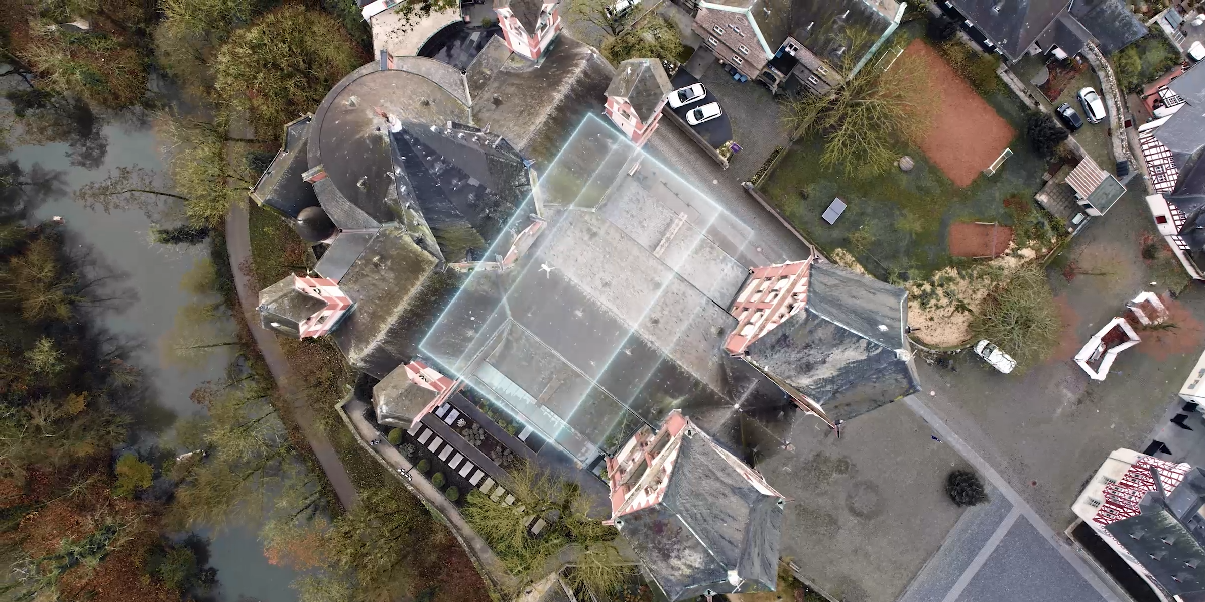
Leverage the power of sophisticated drone photogrammetry to unlock unparalleled spatial data accuracy. Our process involves systematically capturing hundreds or thousands of overlapping aerial photographs using high-resolution UAVs. These images are then meticulously processed using cutting-edge photogrammetry software to reconstruct precise 3D geometry and produce a variety of highly accurate deliverables, including:
Georeferenced Orthomosaic Maps: High-resolution, distortion-free aerial maps with real-world coordinates.
Digital Surface Models (DSMs) & Digital Terrain Models (DTMs): Detailed elevation data representing the ground and features above it.
True 3D Models & Point Clouds: Realistic, measurable representations of structures, landscapes, and entire sites.
Contour Maps: Essential for site planning, drainage analysis, and volume calculations.
Our drone photogrammetry services are ideal for applications requiring centimetre-level accuracy, such as land surveying, construction progress monitoring, volumetric analysis, environmental mapping, and asset management.
Contact Us
Interested in working together? Fill out some info and we will be in touch shortly. We can’t wait to hear from you!